
Our fall heatwave continues for the valleys, mountains, and deserts through Monday, with daytime highs averaging 10 to 20 degrees above normal for this time of the year and eve the potential for record breaking temperatures.

For Sunday, we may see another round of record-breaking temperatures in Ramona, Palomar Mountain, Lake Cuyamaca, Campo, and Borrego.
The EXCESSIVE HEAT WARNINGS for the inland valleys and deserts will stay in effect until Monday night, along with the HEAT ADVISORY for the mountain communities.
Get top local stories in San Diego delivered to you every morning. Sign up for NBC San Diego's News Headlines newsletter.

In the coastal communities, weather conditions will remain cool and mostly cloudy due to the marine layer and patchy dense fog, which may reduce visibility to one mile or less overnight into the morning hours.
The strong ridge of high pressure responsible for the heatwave will start to break down on Tuesday, leading to a gradual drop in temperatures and a return to more comfortable conditions by next weekend.
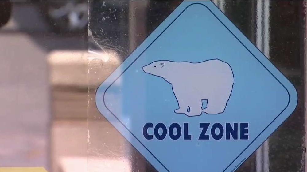
Here's how you can stay safe as heat wave grips San Diego County
More on heat:

Sunday
- Coast: upper 70s to low 80s
- Inland: 85-100
- Mountains: 91-98
- Deserts: 110-115