A powerful Pacific storm will continue to bring widespread rain, mountain snow and strong winds to San Diego County through Tuesday with the heaviest activity arriving late Sunday evening and Monday morning, forecasters said.
Rain:
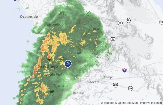
Expect showers to accompany your commute Monday morning, especially for those near the coast, according to the National Weather Service of San Diego. Leave the house earlier and allow for more time during your commute for safety.
Get San Diego local news, weather forecasts, sports and lifestyle stories to your inbox. Sign up for NBC San Diego newsletters.
Scattered showers will accompany San Diegans into Tuesday, the NWS added.
Snow:
A lower snow level could allow for heavier snow accumulations in mountain communities through Tuesday morning as progressively colder air is drawn southward. Scattered rain, snow, and ice pellet showers were likely to persist through Tuesday.
Temperatures:
Most local temperatures Sunday were expected to be in the low 60s, with overnight lows in the 50s. Highs in the mountains were forecast to be in the 40s with lows of 32 to 41, and highs in the deserts were expected to be in the 60s with overnight lows of 45 to 53.
Advisories:
This storm system has also triggered multiple advisories including a high surf advisory of 6 to 8 foot waves is in place until 10 p.m. Tuesday for coastal areas. A winter weather advisory is in place from 10 p.m. Sunday until 4 a.m. Tuesday for county mountains.
The big waves could cause coastal flooding and bluff erosion, like the last one, which sent waves over the seawall in Mission Beach and into beachside properties. They also battered the Ocean Beach Pier and closed it indefinitely. This round of high surf could add to the damage.
Winds:
A large long-period west swell was expected to continue to generate combined seas of 7 to 10 feet on the coast Sunday morning. Southwest to west winds of 15 to 20 knots with gusts to 25 knots and rough seas could occur through much of Sunday. Stronger southerly winds and high combined seas should develop late Sunday night and persist through Monday as another storm and a large west swell move in, with hazardous winds and seas persisting through Tuesday. The small craft advisory has been extended into Tuesday evening.
Surf:
A slight decrease in surf was possible on Monday before another west swell producing more elevated surf Monday night through Tuesday, mostly remaining below 10 feet. The surf may gradually lower Tuesday night and Wednesday, with no high surf expected the rest of the week.
The weather for the rest of the week is forecast to be dry, according to the NWS.