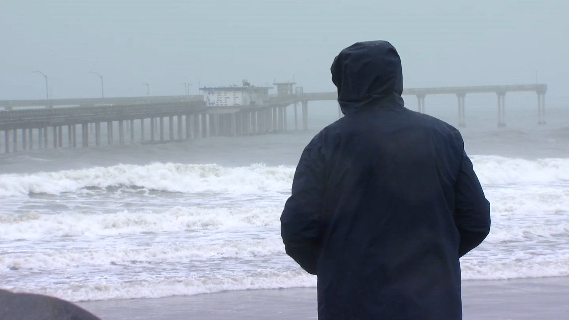
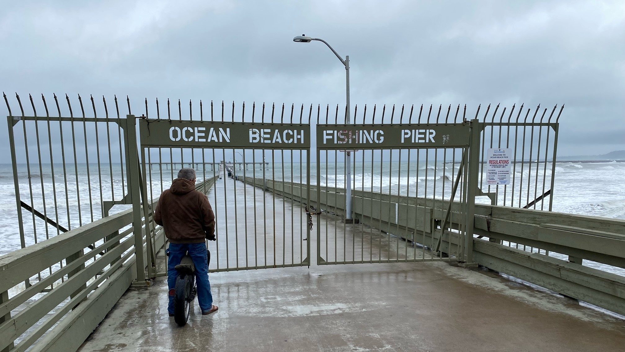
It’s raining, it’s pouring and the atmospheric river responsible for this winter storm will continue to deliver the much-needed rain through the majority of our Thursday.
Gusty winds, high surf and potentially damaging rainfall are in store for San Diego County as a storm from our north makes its way to our region. Per NBC 7 Weathercaster Brooke Martell’s forecast, here’s a timeline of when we can anticipate the inclement weather:
San Diego Weather
- Early morning – North County was the first to get the tail-end of the storm that caused major damage and even one death in Northern California.
- 5:30 a.m. – By this time, rain was already widespread over San Diego County.
- 9 a.m. – It was wet morning commute with the rain still widespread for much of the region, though a bit sporadic for the South Bay and North County.
- 11:30 a.m. – The rain has become more sporadic throughout the region, but will remain prominent in central coastal communities, the mountains and deserts.
- “By about noon, we’ll start to look to be a little bit more patchy with this system, but we still have those heavier rainfall amounts over mountains like Julian and in Pine Valley,” Martell said.
- 3 p.m. – The rain will be less pronounced, but East County will continue with the inclement weather.
- “As we go into this evening, this system will really start to dissipate,” Martell said.
- 6:30 p.m. – Random bands of showers will pass through potentially for San Diego city and Escondido.
- 8 p.m. – Winds will die down at the coast as Imperial Beach, Fallbrook and Encinitas will continue to get some spotty showers.
- Midnight – All activity will seem to have stopped by this time, with some few showers maybe passing by.
Get San Diego local news, weather forecasts, sports and lifestyle stories to your inbox. Sign up for NBC San Diego newsletters.
“Looking ahead to tomorrow, mostly sunny skies,” Martell said.
You can keep up with the storm, yourself, with our First Alert Forecast radar:


