Two years before Monday’s 5.2-magnitude earthquake, San Diego State University scientists started a project that led them more than 90 miles off San Diego’s coastline.
In February, the group took a 12-day research cruise aboard an oceanographic research vessel called the "Sally Ride."Scientists dredged rocks and mapped the seafloor to find new fault lines, underwater landslides and potential tsunami triggers.
Stream San Diego News for free, 24/7, wherever you are with NBC 7.
Relevant content:
“This tsunami could be dangerous for the coastal communities and metropolises like Los Angeles, Tijuana and San Diego,” said Dr. Andrea Fabbrizzi, a geophysics expert at SDSU.
Get top local San Diego stories delivered to you every morning with our News Headlines newsletter.
He works beside Dr. Jillian Maloney, an earth and environmental sciences associate professor at SDSU.
“Underwater faults are difficult to study,” Maloney said. “We're in over 1,000 meters of water, and so we have to use remote sensing sonar and dropping little sediment cores to study those.”
She said scientists can’t predict when an earthquake will happen, but fault lines can tell them how big it could be and how often it could shake.
“What kind of damage would there be?” she said. “How can fire departments and hospitals be prepared for injuries or fires or impacts to utilities and things like that?"
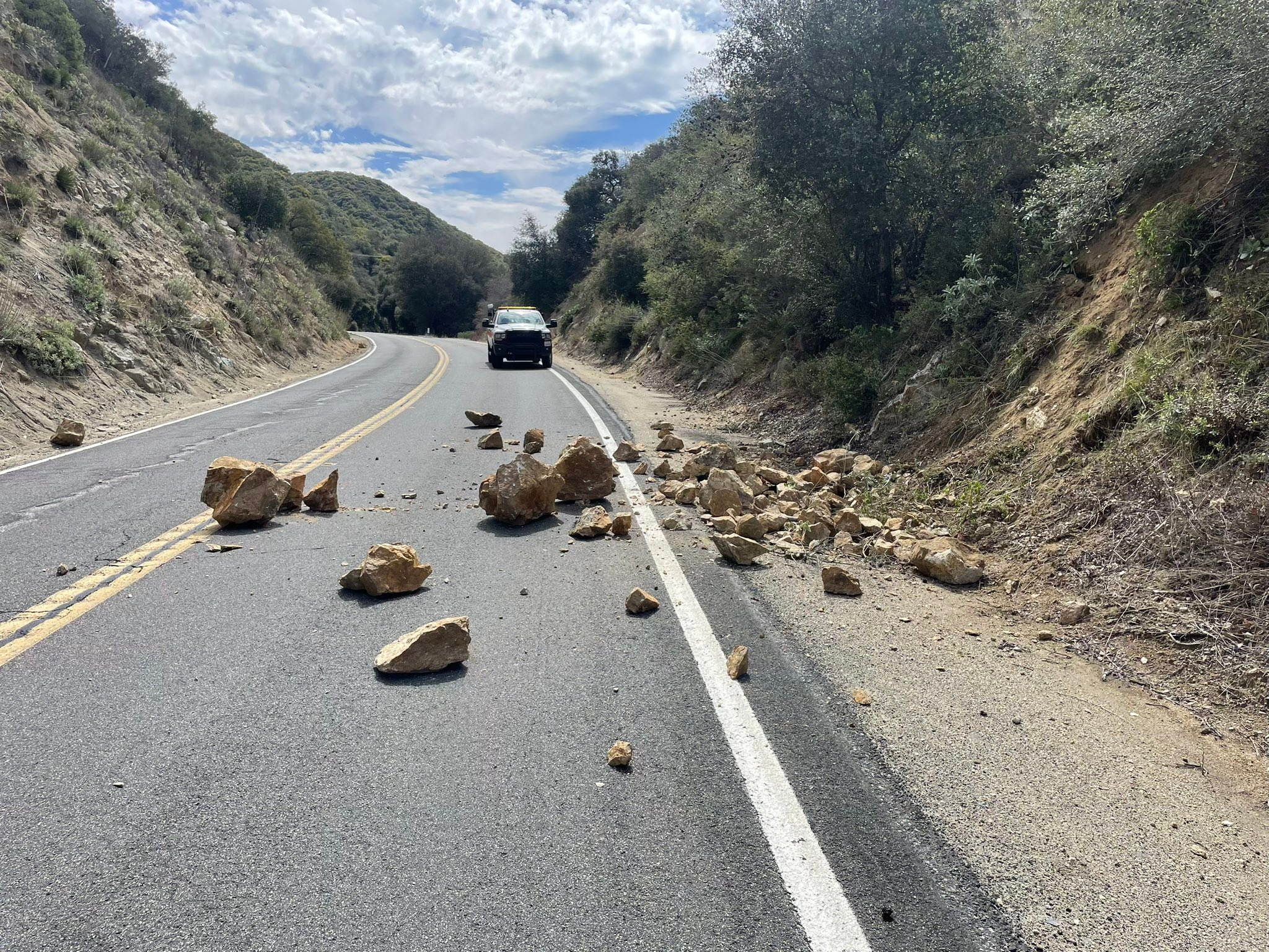
Monday’s earthquake did not cause a tsunami warning or any reported damage or injuries so far, but the goal is to know as much as possible in case the next one does.


