


Brooke Martell’s Evening Forecast for Aug. 4, 2022
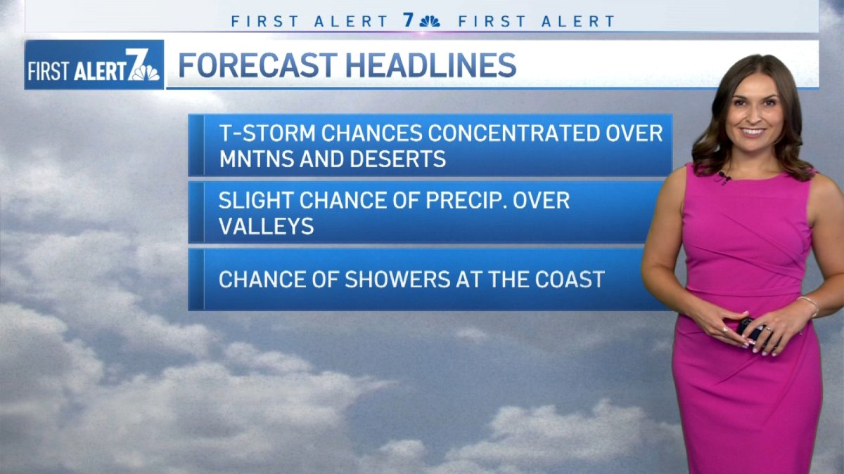
Monsoonal moisture is bringing a triple whammy weather event to parts of San Diego County that includes thunderstorms, flooding and the possibility of hail.
The National Weather Service issued a flood watch for mountains and deserts that will go into effect at 2 p.m. Thursday. Impacted areas should brace for excessive runoff from rain that can result in flooding of rivers, creeks, streams and other low-lying and flood-prone areas.
"The mountains and deserts remain under a flood watch through 10 p.m. Heavy rainfall is anticipated through about 5 p.m. as thunderstorms are expected to develop," NBC 7's Brooke Martell said.
While buckets of rain pour over the mountains, there’s a possibility that wet weather could make its way into the foothills, inland valleys and even the coast as showers. Parveen said a chance for such showers is low, though.
Get San Diego local news, weather forecasts, sports and lifestyle stories to your inbox. Sign up for NBC San Diego newsletters.
“The chance, again, is very small there and that’s going to last into tonight,” she said.
A mix of sun and clouds is in store for the rest of the county.
As for daytime highs Friday, it will be fairly mild at the coast with temperatures from the mid to upper 70s, with 80s and 90s between the mountains and deserts, and triple-digits over the deserts.

