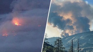
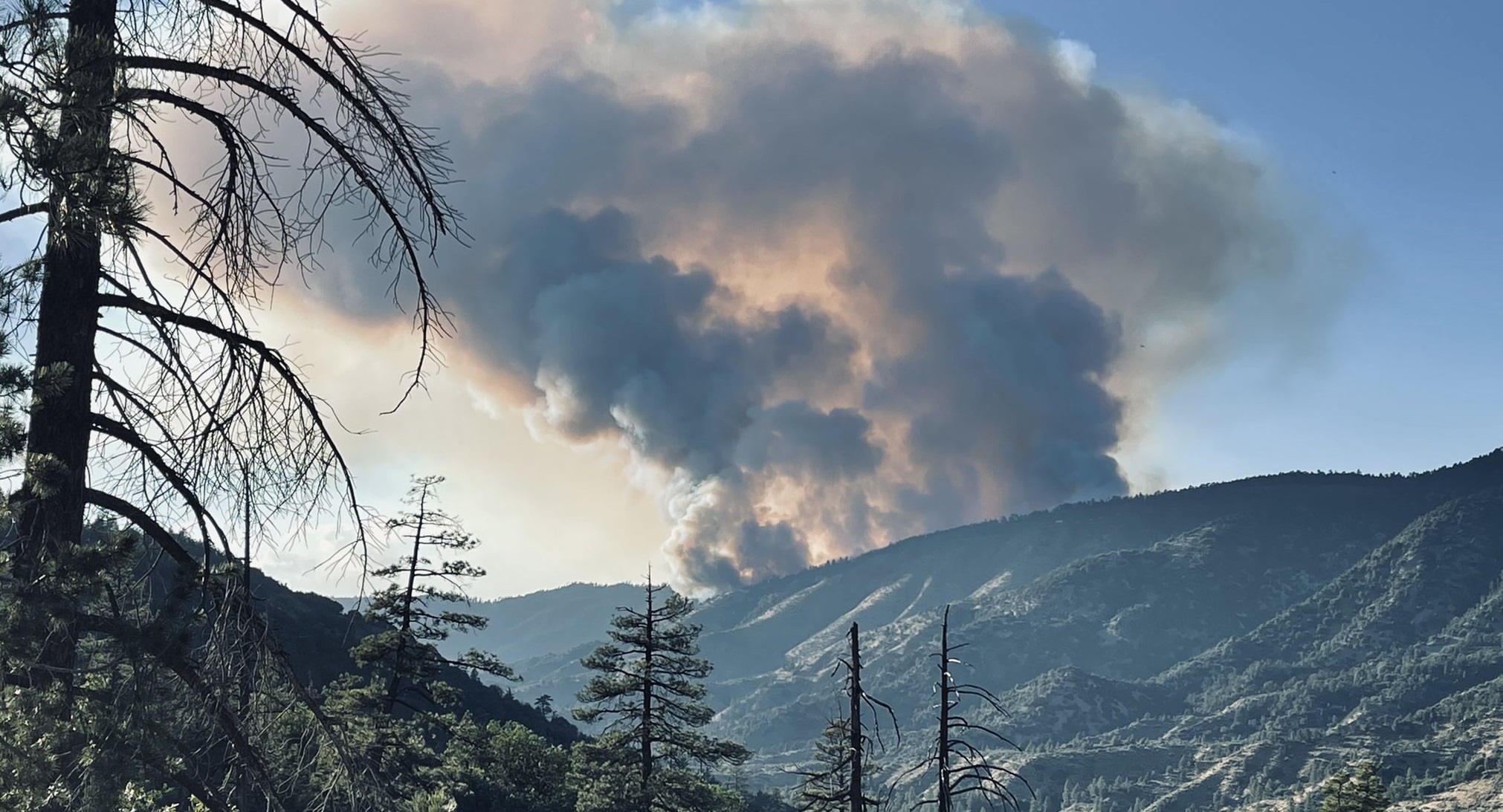
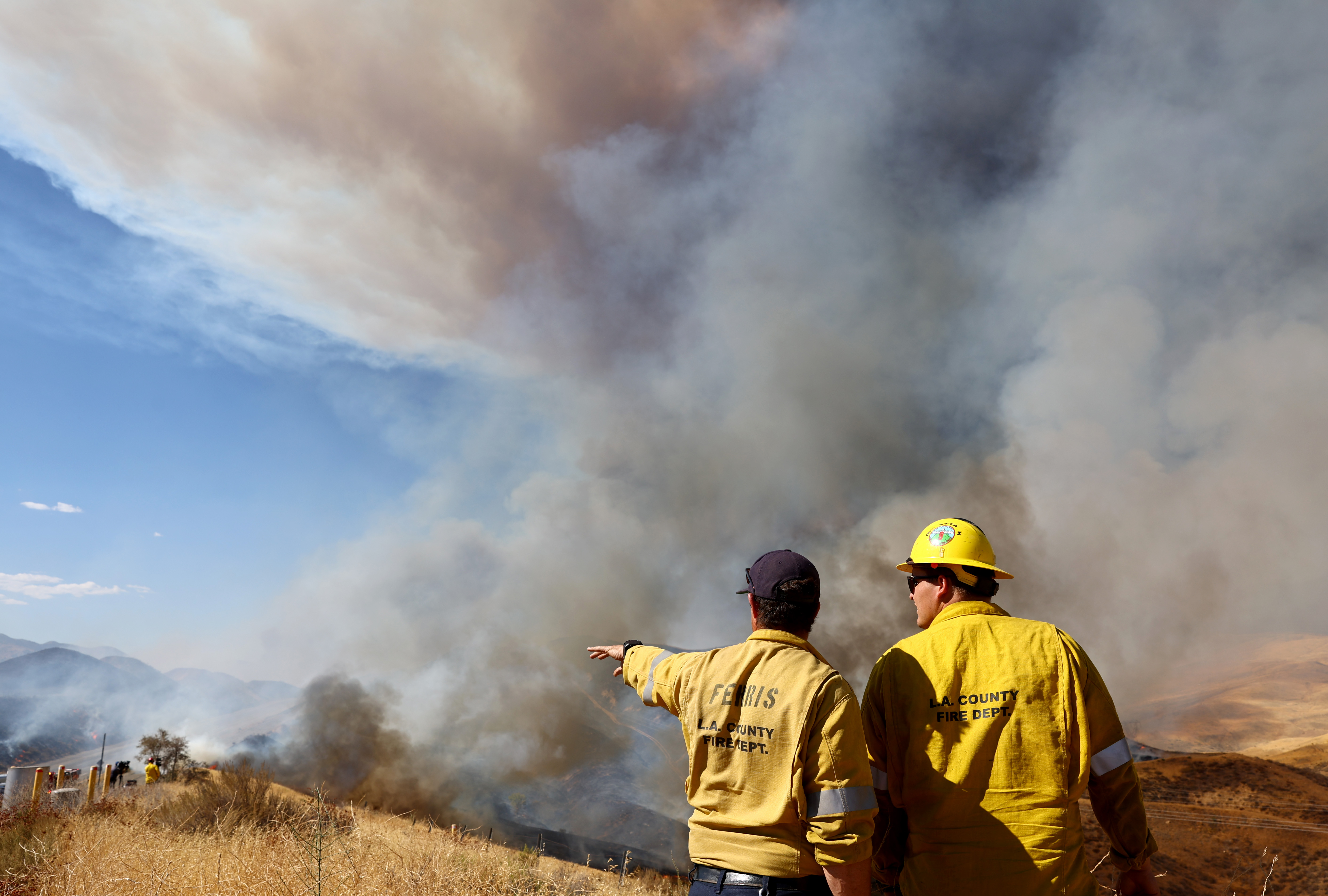
With the deadly Fairview Fire burning near Hemet and the Radford Fire scorching the San Bernardino Forest just one week after the Route Fire set Castaic aflame, it's no surprise that there's tons of smoke drifting over Southern California this week.
All that smoke makes for unhealthy air outdoors -- especially when combined with the sweltering heat the region has been experiencing for over a week now, and the resulting Flex Alerts that limit the use of appliances like air conditioning during peak hours.
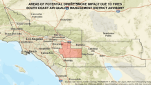
The South Coast Air Quality Management District has issued smoke advisories for both the Fairview and Radford fires, warning residents in the path of the smoke that it may be unsafe to breathe if they're particularly sensitive to bad air.
Get San Diego local news, weather forecasts, sports and lifestyle stories to your inbox. Sign up for NBC San Diego newsletters.
The smoke advisories were issued Monday and Tuesday by the South Coast Air Quality Management District, noting that though air quality was listed as moderate, it's more likely that air quality is at unhealthy levels closer to the two fires.
Both smoke advisories are in effect until at least Wednesday afternoon.
Click here to see tips from the AQMD for staying healthy when wildfire smoke causes high levels of air pollution near you.
Check the map below to see real-time air quality levels in your area.
Image: Areas directly affected by the smoke from the Radford Fire
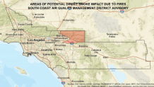
Image: Areas directly affected by smoke from the Fairview Fire