


Scripps Institute of Oceanography needs citizen scientists. NBC 7’s Dana Williams explains how you can help.
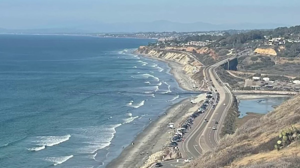
When you walk along the trails at Torrey Pines State Natural Reserve, you are promised to see a few things like the ocean view, jagged rock formations and, of course, people snapping photos.
But, what if those photos could help inform a global science project?
That’s where Scripps Institution of Oceanography and CoastSnap come in. CoastSnap is a community beach monitoring platform, available around the world, that crowdsources data collection by making it easy for anyone with a smartphone to submit photos of a certain location.
“What it does, is it harnesses the power of your smartphone camera or anybody’s smartphone camera to take pictures in places that we can’t put up regular cameras,” said Julia Fiedler, an assistant project scientist with the Coastal Processes Group at Scripps.
Get San Diego local news, weather forecasts, sports and lifestyle stories to your inbox. Sign up for NBC San Diego newsletters.
Fiedler is part of the team that is monitoring the CoastSnap data at Torrey Pines. So, how does it work and where do you find it?
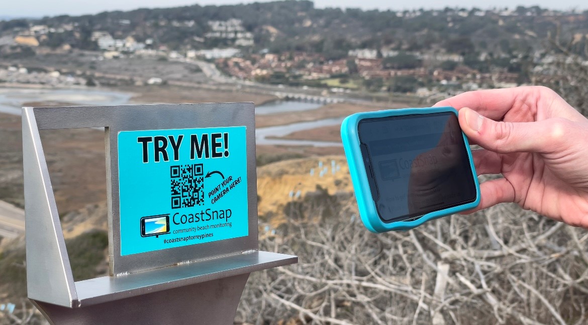
The new tool is located on the edge of a lookout on Guy Fleming Trail, which is a small relatively flat loop. At first glance, it looks like a phone tripod or stand and one of the first things you notice is a QR code right in the middle of it that reads, “TRY ME.”

“I think everyone’s impulse when they see a QR code is to scan it,” said Emma Demorest, who was visiting from out of town and stopped to see what the CoastSnap was for.
Local


Once you open your phone’s camera app and point it at the QR code, a notification will drop down from the top of your screen. From there, tap the notification and it will bring you to a webpage. On the webpage, select “take a photo” which will open your camera app again. Then you rest your phone horizontally on the CoastSnap cradle (it aligns the shot for you) and snap one picture. Once you're done with this, scroll to the bottom of the page and tap “submit.”
“It’s supposed to be as easy as 1-2-3,” said Fiedler.
Fiedler explained that this is a cost-effective way to keep an eye on the shifting shoreline at Torrey Pines State Beach. The CoastSnap cradle was installed in August and has been well-received since.
“Torrey Pines is getting about 5-7 users per day,” said Feidler. “We are really pleased with how much data we’re getting in. The more data the better, that’s usually my mantra.”
The photos are submitted and sent to researchers at Scripps, like Fiedler, who use them to create images of the shoreline. Those are then compared to GPS data that is collected from walking the beach by student research assistants like Andre Dos Santos.
"Walking on the beach, it's hard to complain," said Dos Santos, as he prepared to push a stroller that had been modified to hold research equipment.
There are currently three CoastSnap sites in San Diego that Scripps monitors. Other than the one in Torrey Pines, there is one near Scripps Pier and another on Marine Street at the beach in La Jolla.
“Well, it’s nice because it gives you, as a citizen, ownership of the data that’s being collected and so you’re taking part in, not something that’s just a local project, but this is a global thing,” said Fiedler.
Overall, Fiedler hopes this is only the beginning of citizen scientists in San Diego.
“I think it’s exciting to know that people do want to take part in something like this," said Fiedler. "It’s nice knowing your work is important enough for, you know, five to seven people a day to care.”

