
The shrinking and drying out of the Salton Sea has reduced stress on the San Andreas Fault, possibly reducing the frequency and severity of earthquakes in Southern California, according to research from San Diego State University and the UC San Diego Scripps Institute of Oceanography published Wednesday.
The study, published in the journal Nature, found that the reduced stress on the fault from a significantly lesser amount of water may be delaying the next "big one."
The San Andreas Fault is a roughly 800-mile-long fracture in Earth's crust where the Pacific and North American tectonic plates meet. The two plates are slowly sliding by one another horizontally at a rate of almost two inches a year on average. The Pacific plate is on the west side of the fault moving roughly northwest and the North American plate is on the east side sliding southeast.
San Diego News
Get San Diego local news, weather forecasts, sports and lifestyle stories to your inbox. Sign up for NBC San Diego newsletters.
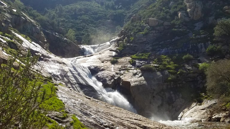
For the last 1,000 years, major earthquakes emanating from the southern San Andreas Fault, roughly running south from the San Bernardino Mountains to Bombay Beach in Imperial County, have coincided with periods when the basin that holds the Salton Sea filled with water to form the prehistoric Lake Cahuilla -- a body of water six times the size of the present-day Salton Sea.
"One of the potential implications from the reduced stress on the fault is that it leaves the Southern San Andreas Fault `locked and loaded,"' Matt Weingarten, a geologist at SDSU and one of the researchers on the paper, told City News Service. "On the fault we see major earthquakes about every 180 years, but it has been 300 years since the last major seismic event. It seems to be correlated by the Colorado River filling the Salton Trough."
The researchers investigated this relationship with computer modeling and found that when the Salton Sea basin filled, Lake Cahuilla's weight bent the surrounding crust and its water penetrated deep underground, each of which altered the forces acting on the fault in ways that could help trigger a massive rupture and severe shaking.
The research, funded by the Southern California Earthquake Center, National Science Foundation, NASA, and the U.S. Geological Survey, suggests that the tight relationship between big-time seismic activity and the filling of the Salton Sea basin may also help explain why the southern section of the San Andreas Fault is long overdue for its next major shakeup.
The northern section of California's San Andreas Fault caused the hugely destructive San Francisco earthquake of 1906 and the Loma Prieta quake of 1989, but the southern section has been relatively quiet.
Yuri Fialko, the study's co-author and professor of geophysics at Scripps, described the southern San Andreas as "10 months pregnant," with a big shake that could cause an estimated 1,800 deaths and $200 billion in damage if it strikes at a magnitude of 7.8, according to the institutions.
"From our results it looks like Salton Sea drying out has contributed to stabilizing the southern San Andreas, a fault that poses an enormous seismic hazard to millions of people," said Ryley Hill, the study's first author and a PhD candidate in the geophysics earthquake science and applied geophysics joint doctoral program between SDSU and Scripps. "It also means there could be more stress that has accumulated along the fault as a result, and extra stress will be released at some point in the future."
To study the relationship between the Salton Trough filling and seismic activity, the team created complex models that took SDSU's advanced supercomputer five days to run.
The research presents additional questions, such as how much human interaction with the Salton Sea has impacted the fault's seismic activity and how it could do so in the future. A panel rejected a proposal to refill the Salton Sea with water from the ocean in 2022.
"Before anyone can do the engineering work required for these restoration projects, they have to know where active faults are located, their history of movement, what the geotechnical properties are of the sediment they're building on, and so forth," said Danny Brothers, a USGS research geophysicist and lead author of a related study in 2022. "This study lays out where many of the faults in the sea are located and begins to build a seismic history of this area -- all of which are likely to have implications for any kind of Salton Sea restoration plan that's proposed."
Fialko said the model developed to better understand the southern San Andreas could also be applied to other places on Earth where there are large and sudden changes in hydrologic loads, such as reservoirs that are filled and emptied.
