


Sky background
Night and morning low cloud coverage was expected to be confined to the San Diego County coast after Sunday and warmer conditions were forecast for most of this week, the National Weather Service said.
Showers and thunderstorms were forecast over the mountains and desert mountain slopes Sunday and Monday.
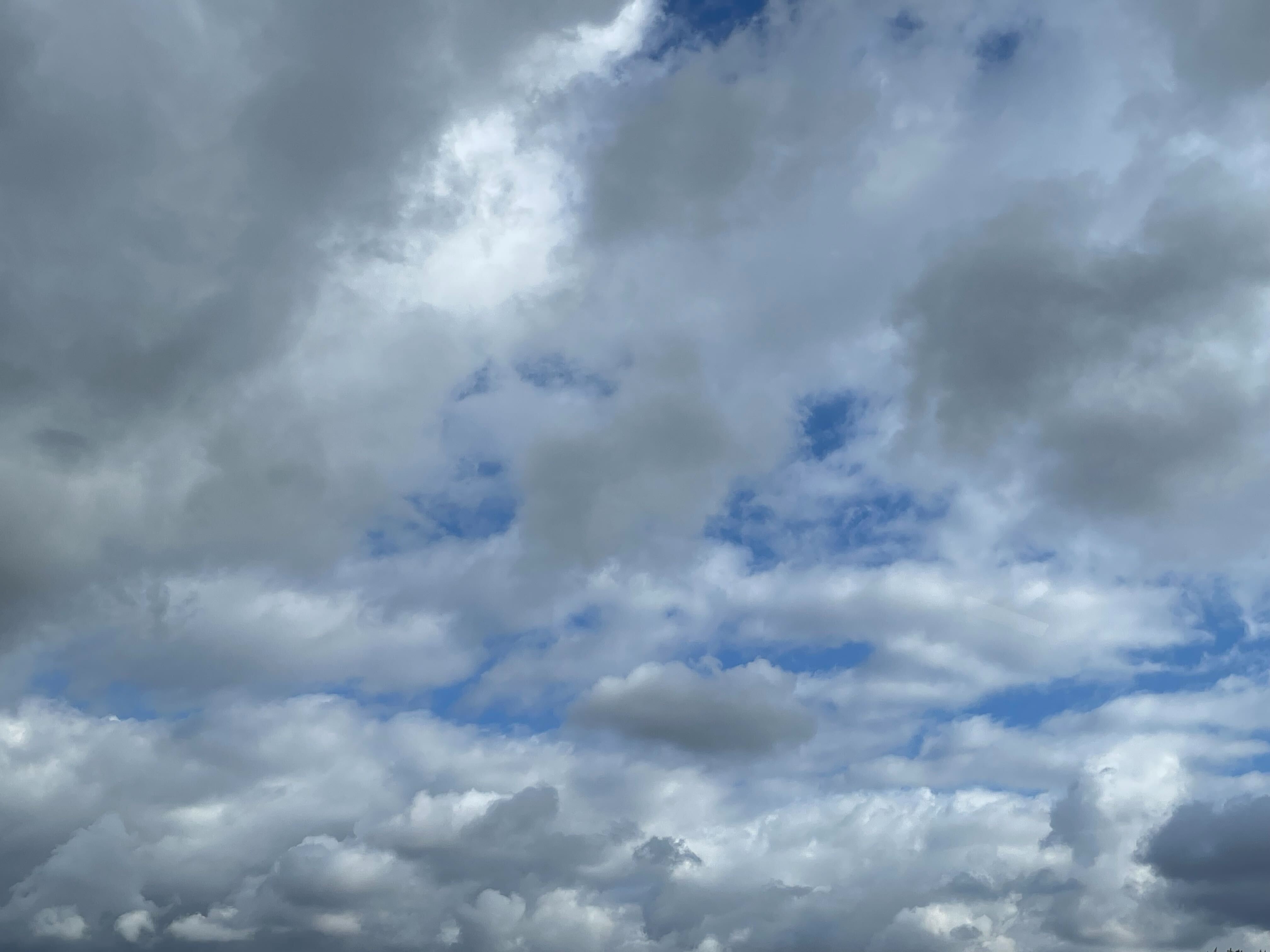
Satellite imagery from 9 a.m. Sunday was showing widespread low cloud coverage that filled in the coastal basin. Sunday was expected to be the last day of the deep marine layer, as high pressure to the southwest strengthens across California.
High temperatures along the coast Sunday were predicted to be in the mid-70s with overnight lows in the lower 60s. Highs in the western valleys were expected to be in the upper 70s and near the foothills in the lower 80s with lows in the lower 60s. Highs in the mountains were expected to be around 80 with lows in the lower 60s and highs in the deserts were predicted to be in the 90s with lows in the upper 70s.
Get San Diego local news, weather forecasts, sports and lifestyle stories to your inbox. Sign up for NBC San Diego newsletters.
Dry conditions were predicted after Monday with the next chance of precipitation, mainly over the mountains, next weekend, forecasters said.
Low clouds were expected to be confined to areas closer to the coast for much of this week.
Local


An increase in temperatures was predicted through Thursday for the deserts and through Friday or Saturday for areas west of the mountains.
No hazardous marine weather was expected through Thursday.

