


Brooke Martell’s Morning Forecast for Oct. 16, 2021
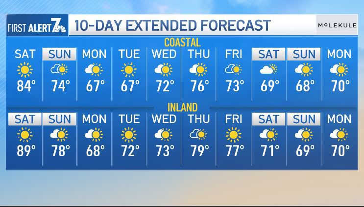
Saturday was forecast to be another warm day in San Diego County, with dry air across the region under a weak upper-level ridge and weakening offshore flow, the National Weather Service said.
The dry air was predicted to warm rapidly as Santa Ana winds near the foothills slowly weaken, the NWS said.
Marine air was likely to return as afternoon sea breezes strengthen and cooler and more humid air will begin to spread inland.
High temperatures along the coast Saturday were predicted to be 77-82 degrees and 84-89 inland with overnight lows of 55-60. Western valley highs will be 85-90 and 81-86 near the foothills with overnight lows of 53-58. Mountain highs were expected to be 71-78 with overnight lows of 46-55. Highs in the deserts will be 85-90 with overnight lows of 61-68.
Get San Diego local news, weather forecasts, sports and lifestyle stories to your inbox. Sign up for NBC San Diego newsletters.

Cooling was likely to spread farther inland on Monday as onshore flow strengthens with gusty westerly winds over the mountains and deserts, and the marine layer deepens with drizzle in the low elevations and fog into the mountain passes, forecasters said.
High temperatures on Monday were forecast to be about 10-15 degrees lower than Saturday.
Local


By late Monday, the trough will be moving eastward, and a slowly building ridge was likely to set the county on a fair and warmer course for the remainder of the week.
Once again, some very weak Santa Ana conditions were predicted to develop at times next week, but not sufficient to completely remove the marine layer along the coast, so there may be some patchy coastal low clouds and fog most mornings.
The next chance at any substantial precipitation likely won't arrive until late next Saturday, forecasters said.
The chance of measurable precipitation was like to increase to around 35% by late next Sunday.

