
The wind, rain and snow from Monday's big storm tapered off overnight and, as of this morning, there were only a few flakes still falling in the higher elevations of the local mountains. There have also been some isolated gusts above 40 mph but these too should subside by this afternoon. Plan on partly cloudy skies the rest of the day with the threat of more rain moving in before the weekend.
At the coast today we're seeing bigger than normal storm surf but the waves are expected to become much bigger by tomorrow. A high surf advisory is posted for Wednesday morning through Friday evening with some sets possibly reaching 10 feet.
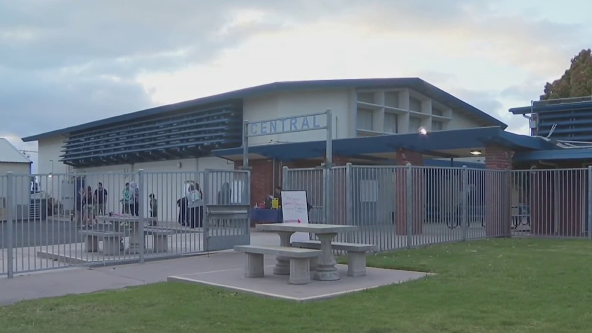
Meantime, residents and emergency crews are still cleaning up from the powerful storm that swept the county Monday. In Bonita, the winds knocked down trees and affected power poles, leaving thousands without any electricity. That was the same story in Escondido and Point Loma. In La Jolla, debris could be seen littered along the streets. in Scripps Ranch a tree standing 125 feet tall was blown over. It fell onto a duplex but no one was hurt and damage is still being assessed.
San Diego Gas and Electric estimates that about 7,000 residents were without power Tuesday morning. Overnight, up to 75,000 people around the county were without power. The company said they have 65 crews working to restore the power outages and hopes to have the problem fixed by noon today.
Record rain fell at Lindbergh Field, the county's official reporting station. By 8:30 Monday night, the airport measured 1.56", eclipsing the old record by nearly a quarter of an inch. Coastal cities saw between a half-inch and nearly 2-inches of rain in this potent storm. Further east, Kearny Mesa measured nearly 2 1/2" which was turned out to be a typical amount in the mountains, where, generally between 2 1/2 and four inches of rain was reported; Lake Cuyamaca had the most, just under 5-inches.
The snow level dropped below 4,500 feet overnight, bringing a dusting to places like Pine Valley and the I-8 summit. Palomar Mountain and Mount Laguna, both of which are above 6,000', totaled 4"-6" of fresh snow but saw winds gusting higher than 60 mph at times. This caused blizzard conditions through early this morning. High winds are again possible in the mountains today as the cold front exits the county and roads above 4,000 feet remain slippery because of ice, snow and high temperatures expected to only reach the mid 30s this afternoon.
In the mountains to our north the ski resorts at Wrightwood and Big Bear are all reporting great conditions today even with the winds and bitter cold. They got around a foot of snow at the base of the mountains and up to 2-feet at the tops, so skiing and boarding conditions tomorrow and Thursday should be ideal.
Local

Two warmer storms are bearing down on Southern California later this week. They'll keep the snow level above 7,000' but could bring another half inch of rain to the coast and maybe twice that amount to the foothills and valleys. The first should hit San Diego by late Thursday night or early Friday morning.
