
Share your feedback with NBC 7 San Diego
NBC 7 has created a survey to gather feedback on how you currently use our digital platforms as well as feedback about what you’d like to see in the future.

-

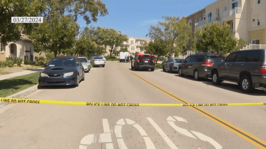
Family mourns mother shot and killed at East County home
Sheriff’s deputies say 35-year-old Ashley Bird was killed in her home in the East County community of La Presa on Tuesday by her estranged husband, who was also later found dead. The ordeal left a 9-y... -

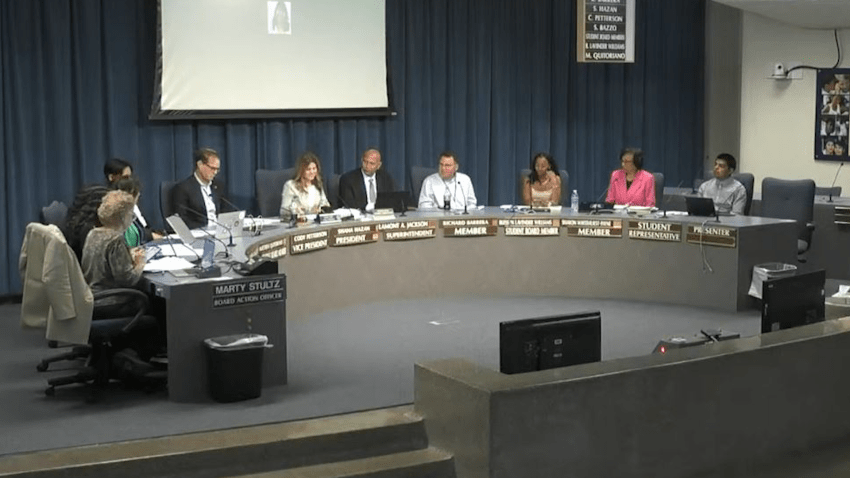
East County recycled water treatment facility set to go online in 2026
Work has been underway on a recycled water treatment project in Santee for about two years. In another two years, some East County residents will get their drinking water from the East County Advanced... -

Carlsbad woman, 70, gave scam artists $1 million-plus in gold, precious metals: DA
The victim sent wire transfers totaling around $1,335,000 to a San Marcos precious-metal business, then turned her purchases, mostly gold, over to the con artists, prosecutors said
-
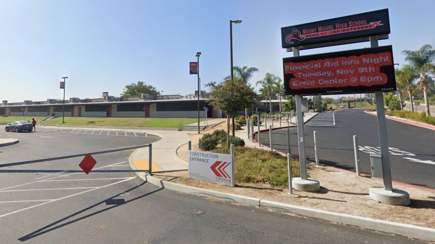
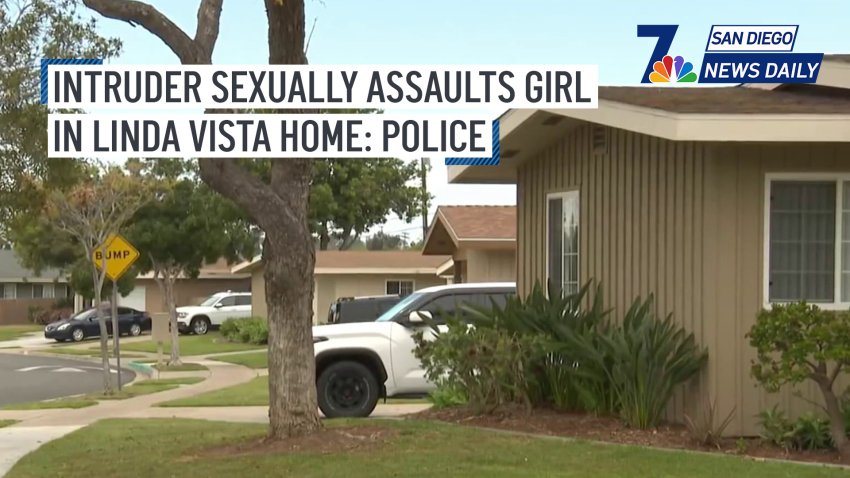
Mount Miguel High student, 18, raped girl in Spring Valley school bathroom: Deputies
The victim was on campus for after-school program when the suspect allegedly attacked her about 4 p.m. last Thursday